AI Weather Models Got 8x Faster. The Gulf Still Builds Its Own for the Extremes
AI & Climate Tech15 min readAugust 9, 2026

AI Weather Models Got 8x Faster. The Gulf Still Builds Its Own for the Extremes

Google, NOAA and the UK Met Office just made AI weather forecasting dramatically faster and cheaper. But a new peer-reviewed study shows these models still underestimate the extreme events that matter most, and the Gulf, scarred by the 2024 Dubai floods, is not waiting for someone else to fix that.

01

When the Forecast Said 100 Millimeters and the Sky Delivered 254
When the Forecast Said 100 Millimeters and the Sky Delivered 254

On the night of April 15, 2024, the UAE's National Center of Meteorology warned of rain across most of the country, somewhere between 40 and 100 millimeters. Less than 48 hours later, a station at Khatm Al Shakla in Al Ain logged 254.8 millimeters in a single 24 hour stretch, a figure drawn from the center's own data and confirmed across international coverage. Dubai's airport alone recorded 164 millimeters, close to what the city typically sees across an entire year. Five people died. Dubai International cancelled more than 1,244 flights over two days. Reinsurance broker Guy Carpenter put insured losses at 2.9 to 3.4 billion dollars.

That gap between forecast and reality was never really a story about human error. It exposed a limit built into the technology itself. Physics based models struggle with events that sit far outside anything they have seen before, and here is the uncomfortable twist: the new generation of AI weather models, for all the hype surrounding them, appears to hit the same wall, arguably harder in some cases. That tension sits at the center of what is happening in weather forecasting right now. A global race for speed and cost savings, led by Google and government meteorological agencies in the US and UK, is running straight into a peer reviewed admission that these same systems still struggle with the disasters that matter most. In the Gulf, a region that just watched one of its own cities flood under a forecast that undershot reality by more than double, nobody is waiting for someone else to fix it.

What follows is not a list of disconnected technical wins. It is two threads that meet at a single point. Globally, major labs are racing to cut forecast generation time from hours to seconds. Regionally, the Gulf is building its own tools, because it learned the hard way that speed alone was not the problem that mattered on the night of the flood.

02

Google and Washington Just Made Forecasting Radically Cheaper

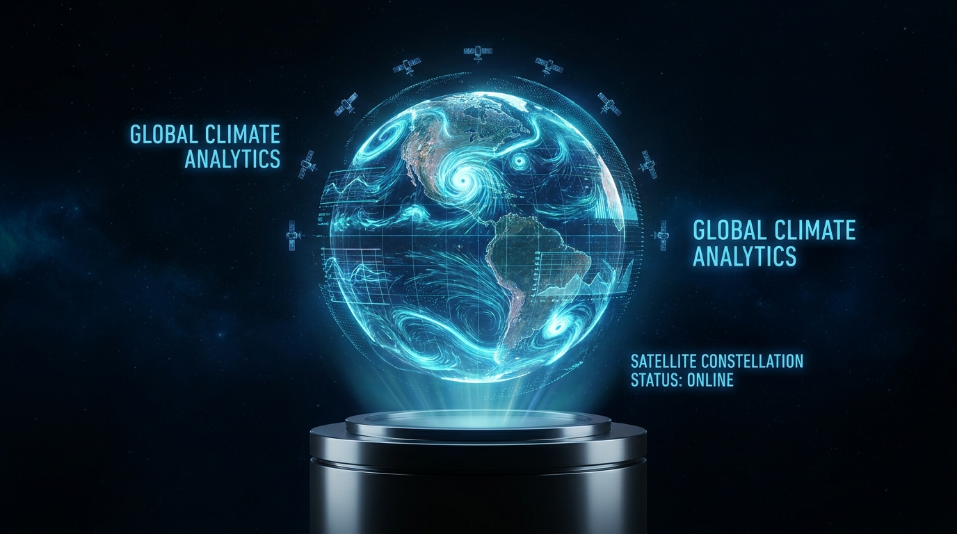
On November 17, 2025, Google DeepMind unveiled the second generation of its WeatherNext model, a system that can generate hundreds of possible weather scenarios from a single starting point in under a minute on one TPU, versus the hours a supercomputer needs to run a traditional physics based model. The new version runs eight times faster than its predecessor and beats it on 99.9 percent of variables and forecast lead times, according to Google's own announcement.

Less than a month later, on December 17, 2025, the US National Oceanic and Atmospheric Administration rolled out its own new operational models, AIGFS, AIGEFS and HGEFS, partly built on Google DeepMind's GraphCast technology. The headline number here is not accuracy, it is cost. AIGFS produces a 16 day forecast in about 40 minutes using less than 0.3 percent of the computing resources the traditional GFS model requires, while AIGEFS needs only 9 percent of its conventional counterpart's resources and extends reliable forecast skill by an additional 18 to 24 hours.

This is not a technical curiosity. When operating costs fall that far, agencies can afford to run dozens of parallel model runs for finer calibration, which is exactly what a region like the Gulf needs, where weather can shift sharply across a relatively small geographic footprint.

Compute cost of a 16-day global forecast (% of traditional model)

Source: NOAA, December 2025

03

Britain's Fix for AI Weather's Blurriness Just Landed

On July 8, 2026, the UK Met Office and the Alan Turing Institute published research on a new model called FastNet, named after a shipping forecast sea area. It targets a problem meteorologists call blurring, the tendency of AI weather models to output smooth, averaged forecasts that look statistically reasonable but lose physical realism, a storm rendered weaker than it actually is because the model hedges between several possible outcomes instead of committing to one.

The British team built a modified loss function based on spherical harmonics to preserve how atmospheric energy is distributed across scales. Tested against Hurricane Ian from 2022 and Storm Ciarán from 2023, FastNet produced a more realistic storm core structure, a tighter pressure to wind relationship, and peak wind speeds closer to what actually happened, even at longer lead times. Overall performance on root mean squared error matched or beat the Met Office's traditional Global Model.

The point is not that FastNet has solved blurring for good. It is that model builders are now publicly conceding that speed alone is not enough. Professor Kirstine Dale, the Met Office's chief AI officer, put it plainly: forecasts must also remain physically realistic and maintain consistent relationships between weather variables if they are to stay useful over time. Even the model's name carries a message. FastNet is a shipping forecast sea area named after the historic bulletin founded by Vice Admiral Robert FitzRoy, who built the first systematic storm warning service in the 19th century. It reads almost like a deliberate reminder that the goal of weather forecasting has not changed since then: protecting lives, not just accelerating the arithmetic.

04

The Study That Should Worry Every Forecaster Chasing Speed

The Study That Should Worry Every Forecaster Chasing Speed

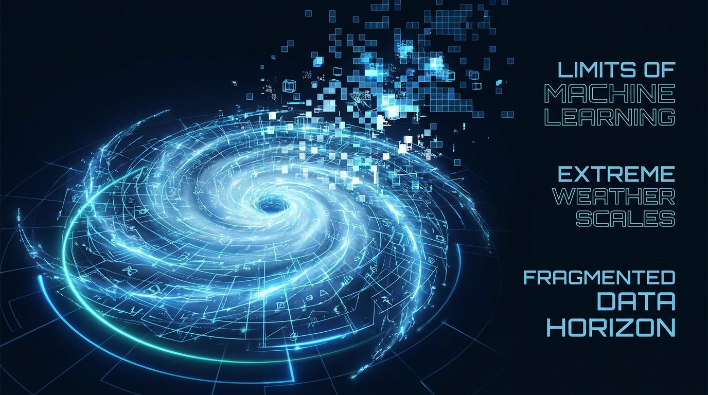
On May 4, 2026, Science Advances published a study led by Dr. Zhongwei Zhang of the Institute of Statistics at Germany's Karlsruhe Institute of Technology, working with researchers from the University of Geneva. The team tested three of the most prominent AI weather models, GraphCast, Pangu-Weather and Fuxi, against HRES, the traditional physics based model run by the European Centre for Medium-Range Weather Forecasts. The finding was blunt: all three AI models showed consistently larger errors for record breaking events, underestimating both the intensity and the frequency of extreme heat, cold and wind.

The explanation matters more than the headline number. Professor Sebastian Engelke of the University of Geneva put it this way: neural networks struggle to reliably extrapolate beyond their training domain, that is, to make predictions beyond previously observed values. A model learns from history, and if history never produced an event of a given severity, the model tends to discount the chance it could happen. Dr. Zhang added that the greater the exceedance of the record beyond the training data, the larger the underestimation, closing with a line worth pinning to the wall of every emergency operations center: for high-risk applications, one should not rely solely on AI.

This is not an argument for abandoning the technology. It is a precise account of its limits. All the talk of generating a forecast in one minute means little if the model quietly discounts the storm or heatwave that ends up killing people when it actually arrives.

05

A Model That Forecasts 45 Days Out, With a Catch

On December 16, 2025, the journal Intelligent Climate and Eco-Environment published a paper by Dr. Jia Xing introducing DeepMet, a model built specifically for long range forecasting up to 45 days out, far beyond the 10 to 14 day window where traditional models typically lose reliability. The technical trick is that DeepMet predicts the entire period in a single calculation rather than a chain of short steps where error compounds, using a physics guided neural network combined with high resolution ground observation data.

Against the European Centre's reference model, DeepMet cut errors by 20 to 60 percent, improved large scale pattern accuracy by as much as 138 percent, and detected extreme heat and cold events more than 40 percent more effectively. Training the whole model takes no more than a single GPU running for 24 hours, putting it within reach of institutions far smaller than the big tech labs building the flagship global systems.

Here is the catch. These results come from peer reviewed academic testing, not from wide operational deployment inside national weather agencies. The lesson Gulf states are drawing from all of this is straightforward: every gain in speed or forecast range has to be checked against its ability to catch the rare event, not just improve the average case. Worth noting too: funding for this research came from several sources, including the US National Science Foundation, China's Fengyun Application Pioneering Project, and the National Natural Science Foundation of China, a reminder that the race for long range models is no longer confined to Silicon Valley. It is a field where American, European and Chinese academic institutions are now competing at the same time.

Extension of skillful forecast range (days)

Source: Intelligent Climate and Eco-Environment, Dec 2025 (Jia Xing et al.)

06

The Storm That Taught the Gulf Not to Wait

The Storm That Taught the Gulf Not to Wait

Back to that night in April 2024. Rain that began on the evening of April 15 and intensified through April 16 before easing on April 17 flooded all seven emirates, with Dubai, Sharjah, Ajman, Abu Dhabi and Ras Al Khaimah hit hardest. Dubai International cancelled 1,244 flights over two days and diverted another 41, the Dubai Metro was severely disrupted, major highways closed, and roughly 200 commuters were stranded inside trains. The federal government later allocated 2 billion dirhams, about 544.6 million dollars, to repair damaged homes, while reinsurance broker Guy Carpenter put total insured losses at 2.9 to 3.4 billion dollars.

What keeps this event as a permanent reference point in Gulf forecasting debates is timing. The National Center of Meteorology issued orange and yellow warnings ahead of the storm, then a red alert during it, yet the initial forecast never came close to what actually fell. The gap between the upper end of the forecast, 100 millimeters, and the actual rainfall at Al Ain, 254.8 millimeters, runs past double.

This is not just a numbers problem. It is a decisions problem: how many flights could have been rebooked earlier, how many facilities could have been evacuated, had the forecast been closer to reality three full days out instead of hours out.

Estimated economic impact of the 2024 UAE floods (USD billion)

Source: Guy Carpenter; UAE federal government

07

A University Lab Builds a Model That Beats the Odds by Two Points

On May 30, 2026, The National reported on research published in the journal Urban Climate by a team from New York University Abu Dhabi, working with Emirates Aviation University and NYU's home campus, led by researcher Basit Khan. The team built a graph neural network that treats each of the UAE's 48 weather stations as a node in an interconnected network, trained on data running from 1990 to 2022 drawn from ground stations, satellites and the European Centre for Medium-Range Weather Forecasts' global database.

The result: 96 percent accuracy predicting heatwaves when tested against 2023 and 2024 data, against 94 percent from a comparable study using the same technique in 2023. Two percentage points might look trivial on paper, but in practice it means hundreds of additional correct warnings issued two to three days before a heatwave actually arrives, enough lead time to warn the elderly, children, pregnant women and people with weakened immunity.

Dr. Khan said the region is warming at a faster rate than other parts of the world, noting that heatwave frequency, duration and intensity have all climbed since the 1990s, with a clear acceleration after 2010. This university research, locally funded and built entirely inside the UAE, is an example of what Gulf meteorology circles now call computational localization: building forecasting tools designed specifically for the region's climate rather than imported from generic global systems.

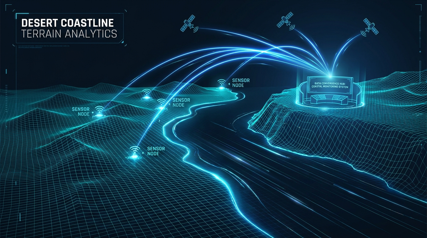
UAE heatwave-forecast model accuracy (%)

Source: Urban Climate journal, via The National, May 2026

08

The Company Running Weather Models at 170 GPU-Seconds a Day

The Company Running Weather Models at 170 GPU-Seconds a Day

Since March 2025, Inception, the research arm of the UAE's G42 group, has run a regional forecasting system with Space42 and NVIDIA, built on the Earth-2 platform that combines the global FourCastNet model with the high resolution CorrDiff architecture. The system produces forecasts at 2 kilometer resolution across the whole of the UAE, with a sharper 200 meter version reserved for Abu Dhabi city.

The number worth pausing on is computational efficiency. Generating one day of forecast at 200 meter resolution takes 170 GPU seconds on NVIDIA H100 chips, against 960 CPU core hours the traditional Weather Research and Forecasting model needs to reach the same resolution. That gap is measured in the thousands, not in percentage points. The National Center of Meteorology is a direct partner in the project, and its Director General, Dr. Abdulla Al Mandous, describes the technology as capable of revolutionizing high-quality, high-resolution weather and disaster management solutions.

G42 is not hiding its ambition to export the system beyond the UAE, with stated plans to expand into regions more exposed to extreme climate across Africa, South Asia and Southeast Asia. The difference between this path and simply relying on Google's or NOAA's global models comes down to spatial resolution. A global model running at tens of kilometers of resolution will not catch a localized sandstorm or a heat pocket sitting over a single residential district. A 200 meter model will. There are technical details behind those headline numbers worth pausing on. Training used up to 64 H100 GPUs, while operational inference is spread across just 8, one handling FourCastNet and the initial interpolation, seven running the high resolution CorrDiff architecture. Training data blended ERA5 reanalysis at quarter degree resolution with traditional WRF simulations spanning 2019 to 2023, a combination that explains how the system jumped from coarse global resolution to single neighborhood precision in an intensely hot desert city.

09

Saudi Arabia's Own AI Model Just Got Its First Real Test: Hajj

Away from the UAE, Saudi Arabia's National Center for Meteorology is running a parallel track. In a report published May 23, 2026, the center disclosed a model called Bayan, still in testing with an official launch targeted for late 2026, built entirely with local Saudi expertise according to Dr. Turki Habibullah, the center's Director General of Research, Development and Innovation, who said work on these techniques began the previous year.

Bayan's headline feature is speed, generating forecasts within seconds compared with the far longer runtimes of Saudi Arabia's traditional numerical models. It is already operating for the 2026 Hajj season, producing weather reports tailored to Miqat sites, Mina and Arafat that update every 24 hours, ten day forecasts, twice daily briefings, road condition reports, and heat stress indicators aimed at health and service operators. The center's Anwaar app was updated to support nine languages, with awareness programs expanded into five additional ones.

This Saudi track complements rather than duplicates what the UAE is doing. Abu Dhabi is betting on spatial precision for cities, while Riyadh is betting on immediate operational deployment to protect a seasonal gathering of millions of people in an intensely hot desert environment. What both share is a refusal to simply import an off the shelf global model, opting instead to build a local tool with a clear, specific purpose.

10

The Man Running Both the UAE's Weather Agency and the World's

In April 2026, President Sheikh Mohamed bin Zayed elevated Dr. Abdulla Al Mandous to ministerial rank, a signal of how much political weight weather forecasting now carries inside the UAE. Al Mandous, who has also served as President of the World Meteorological Organization since 2023 for a four year term, laid out his priorities plainly: artificial intelligence in weather forecasting and climate services, alongside advanced infrastructure, data systems and workforce development. The UAE is also set to host the 2026 UN Water Conference later this year, an event that directly links water security to weather forecasting and disaster risk management.

Holding both the national and international role at once is not a protocol footnote. When one Emirati official sets the global meteorological agenda while simultaneously overseeing the development of 200 meter resolution local systems, the UAE positions itself to shape international standards for AI driven weather forecasting rather than simply importing them. It is a pattern that keeps repeating across the UAE's broader technology strategy: build local capability first, then export the standard, not just the product.

What is worth watching over the coming months is how Al Mandous's stated priorities, infrastructure, data and talent, translate into new partnerships with Google, NOAA, or the European research centers working on the extreme event problem the Karlsruhe study exposed. That expansion cannot really be separated from his own record running the UAE's cloud seeding program over the past years. Direct experience with rain enhancement gives him an unusually grounded view of where traditional forecasting falls short, which helps explain his repeated insistence that AI should complement existing infrastructure rather than serve as a hasty replacement for it.

11

What This Actually Means for Anyone Planning Around Gulf Weather

Put all of this together and the picture is clear. Global models have gotten dramatically faster and their running costs have collapsed toward near zero. That is a genuine win for everyday weather services: phone apps, maps and search engines will keep improving their automatic accuracy without the average user noticing anything beyond slightly sharper alerts. But anyone running an airport, an insurance book, an offshore oil facility, or a religious season drawing millions of visitors cannot simply bank that gain on its own. There is one specific question worth asking: has this particular model been tested against the rare event that has never happened at this intensity before?

The Gulf's answer so far is not to wait. It is building local models, academic in Abu Dhabi's case, operational in Saudi Arabia's, running alongside the global systems without necessarily replacing them. The practical takeaway for any company or institution operating in the region should be twofold: use the new global models' speed and low cost for routine planning, and lean specifically on local sources, the UAE's National Center of Meteorology and Saudi Arabia's National Center for Meteorology, when an unprecedented heat season or storm system is approaching. Anyone who conflates a model's speed with its reliability in the worst case scenario risks repeating the mistake of the night of April 15, 2024.

12

References

// Want to apply this?

Let's discuss how this applies to your business.

A senior engineer reviews every inquiry and responds within one business day.

Start a Conversation